
China jails 38 year old blogger over comments about Galwan Valley
China has detained a popular blogger for his comments regarding the casualties of soldiers in Galwan Valley
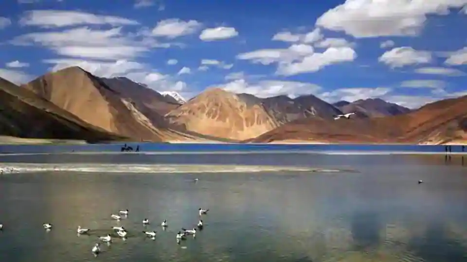
According to satellite images, China has withdrawn its troops, military camps and infrastructure from from the banks of Pangong Tso, a glacial lake in the Ladakh region, that became a flashpoint in the prolonged border dispute, just one week after India and China came to a mutual disengagement.
China has dismantled dozens of structures and moved vehicles to empty out entire camps along a disputed Himalayan border, where Indian and Chinese troops have been locked in a face-off since last April, according to satellite images.
Satellite images taken on January 30 by US-based Maxar Technologies showed a number of Chinese deployments along Pangong Tso, a strategically important lake that runs across the two nuclear powers' de facto border, known as the Line of Actual Control (LAC). In new images taken on Tuesday, dozens of vehicles and building structures had been removed, leaving empty land.
China announced on February 10 that both countries had agreed to disengage along the south and north shores of the lake.
“Similar action is happening from our side also,” an Indian official in New Delhi, who asked not to be named, told the Reuters news agency.
India’s Defence Minister Rajnath Singh told Parliament that both sides had agreed to pull back troops in “a phased, coordinated and verified manner” around Pangong Tso, after which military commanders would discuss ending the standoff in other parts of the Ladakh frontier.
"The Chinese have shown their sincerity of intent of purpose in carrying out the disengagement process," Indian Lt. Gen. YK Joshi told CNN affiliate CNN-News18 on Thursday. "They have been doing it at a very rapid pace."
Images and footage released by the Indian Army on February 10 showed excavator trucks and loaded convoys, Chinese soldiers dismantling tents and carrying bags out of camp, and People's Liberation Army (PLA) tanks on the move.
Wang Wenbin, a spokesperson for China's Ministry of Foreign Affairs, said Beijing hoped India would "work with China to meet each other halfway."
The agreement was reached at a ninth round of talks between the two sides, which have been ongoing since a deadly clash between Indian and Chinese troops at the border last June.
Under the "mutual and reciprocal" disengagement terms, China will maintain troops in the north bank area to the east of a deployment known as Finger 8, while Indian troops will maintain a permanent base near a deployment known as Finger 3, said Defense Minister Singh. Both sides will take a "similar action" in the south bank, he added.
Any structures built by either side after April 2020 will be removed, and all military activities will temporarily halt on the north bank, including patrolling. Modifications to the land, like dugouts and trenches, will also be removed, according to Joshi.
Once disengagement has been completed, senior commanders from both sides would meet within 48 hours to discuss remaining issues, Singh said.
Videos and images released by the Indian army earlier this week also showed Chinese troops dismantling bunkers and tents, as tanks, soldiers and vehicles moved out as part of the disengagement process.
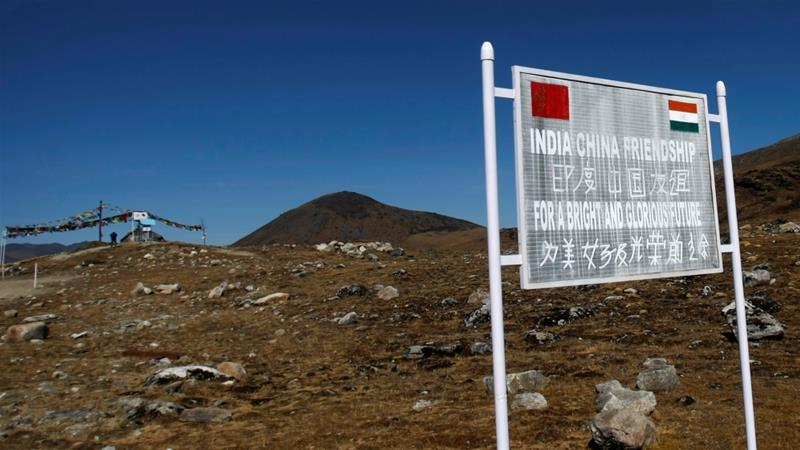
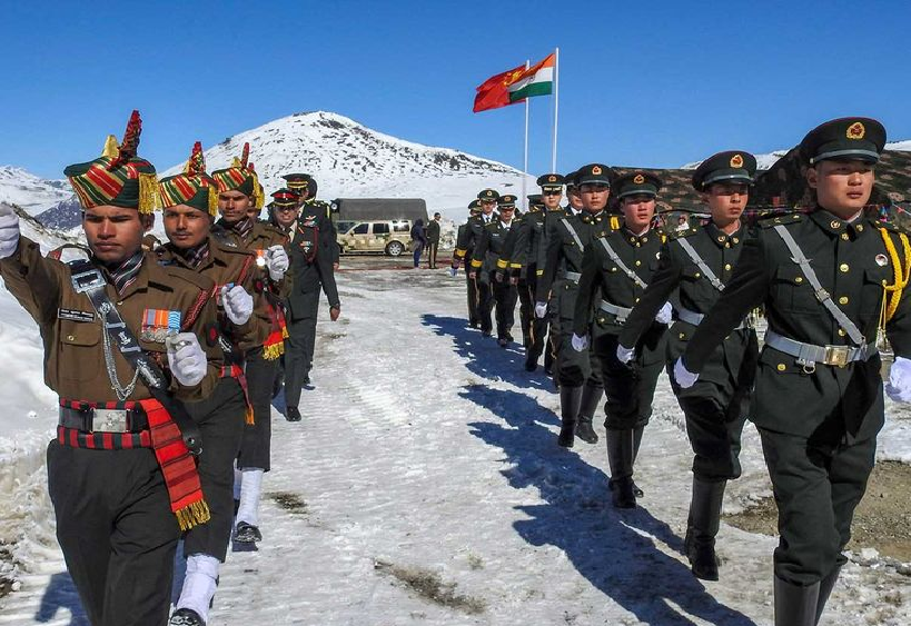
India and China share a 2,100 mile-long (3,379-kilometer) border in the Himalayas, but both sides claim territory on either side of it.
Pangong Tso, located some 14,000 feet (4,267 meters) above sea level, spans an area stretching from the Indian territory of Ladakh to Chinese-controlled Tibet, in the greater Kashmir region where India, China and Pakistan all claim territory.
At least 20 people have died in clashes between Indian and Chinese troops along the disputed Himalayan border running along the Ladakh area of Kashmir. It is the first fatal clash since 1975 and the most serious since 1967.
Fighting broke out on June, 2020 when an Indian patrol came across Chinese forces on a narrow ridge. During the confrontation an Indian commanding officer was pushed and fell into the river gorge, sources told the Guardian. Hundreds of troops from both sides were called in and fought with rocks and clubs. Several fell to their deaths.
The Indian Army said there were casualties on both sides, and confirmed three of its soldiers were killed during the clashes, with another 17 later succumbing to injuries.
Beijing has refused to confirm any deaths on its side, but accused India of crossing the border twice and “provoking and attacking Chinese personnel”. The editor in chief of state-run the Global Times, said he understood there had been Chinese casualties, but the People’s Liberation Army wanted to avoid “stoking public mood” by comparing numbers.
India and China fought a war in 1962 over their contested border in the Himalayas. The war ended with a truce and the formation of a de facto boundary, known as the Line of Actual Control.
There has been an uneasy and fragile peace since, punctuated by skirmishes on the border, including in 2013 and 2017.
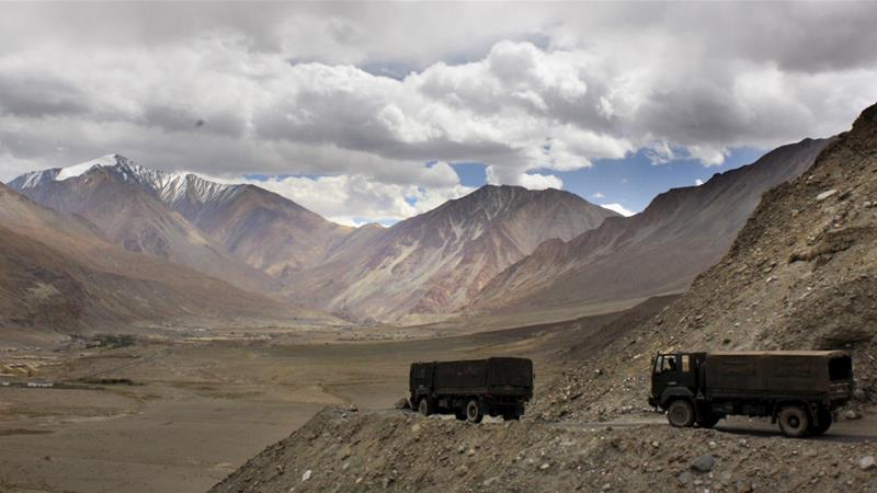
No official border has ever been negotiated, the region where the clashes occurred is hostile terrain, at high altitude and sparsely populated, running through the Ladakh region bordering Tibet, home to a Buddhist-majority population. It is a popular tourist destination.
The LAC is a rough demarcation line separating Indian-controlled territory from Chinese-controlled territory. The exact location of sections of the line, particularly in the western Ladakh region, have remained in dispute. Efforts between the two countries to clarify the LAC have stalled in the past two decades, according to Indian media.
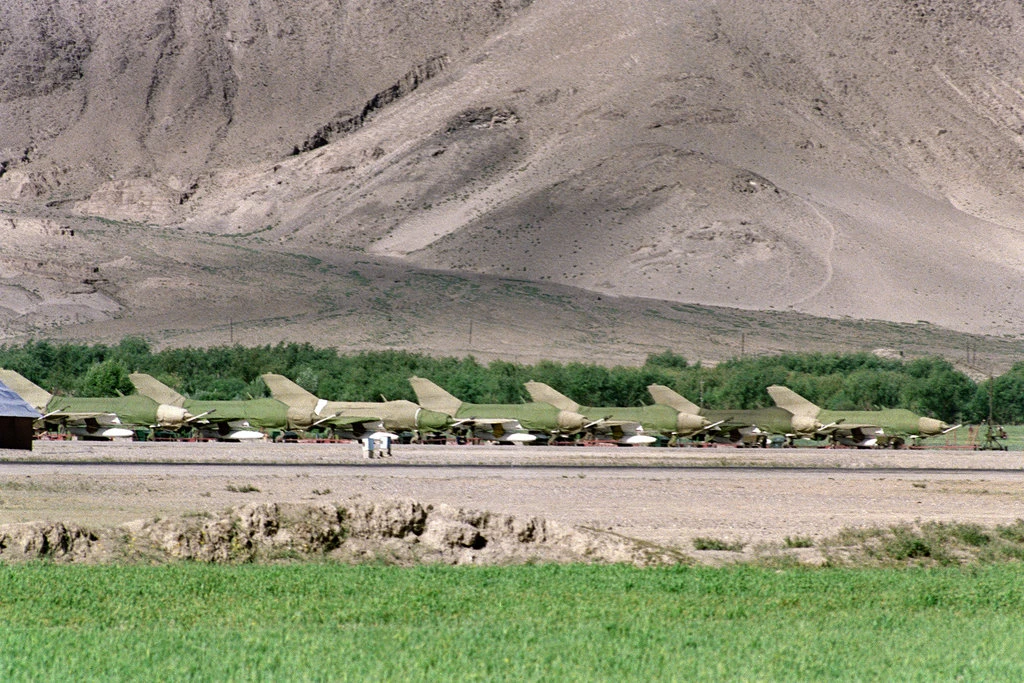
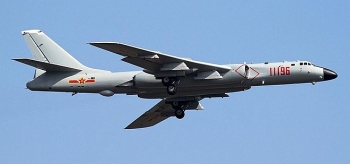
Both countries have sought to establish their claims to territory, by heavily militarising the region. Both have built roads, airstrips, outpost stations, and other infrastructure, such as telephone lines. Troops conduct regular patrols along the disputed border. China claims more than 90,000sq km in the eastern Himalayas and another 38,000sq km in the west, both of which are disputed by India.
Chau Polly